
Featured work
Energy Infrastructure Explorer
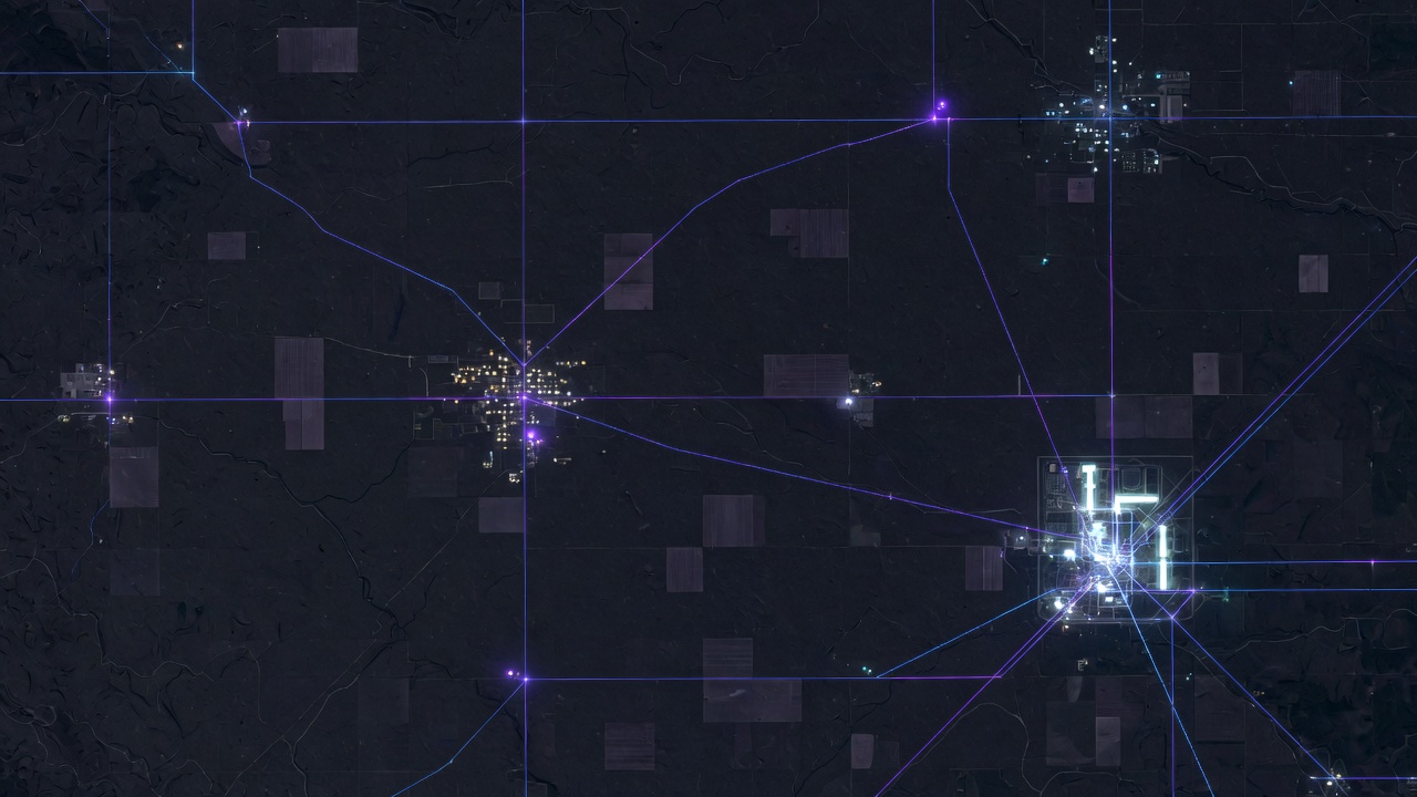
A self-hosted map of the American grid — generation, transmission, substations, fuel infrastructure, and service territories — with tools to ask what happens when the weather, or an adversary, arrives.
The job
See the system as a system.
Infrastructure conversations fail when the map is a slide. The Explorer is a working application: pan to a county, read the plants and lines that actually serve it, open a co-op territory, and run a storm or a control-center outage against the same picture.
It was built by Russell Tech LLC for Mitchell Technical College, with open-source software and public data, so the capability can be owned, briefed, and extended — without a proprietary platform that often prices near a million dollars.
South Dakota is a first-class view, not an afterthought. The same stack covers the rest of the country when the question is regional or national.
At a glance
What it does
A briefing room, not a demo reel.
- Nationwide energy map Power plants, transmission, substations, data centers, natural gas and oil infrastructure, populated places, ISO/RTO markets, and utility service territories.
- Territory explorer Click a service territory and read that utility’s grid: substations, lines, generation mix, and population served.
- Storm simulator Place a hurricane, derecho, tornado, ice storm, wildfire, winter storm, or heat wave on the map and watch the outage footprint move.
- Threat simulator Model a cyber event on a control center or a physical/cyber strike on critical substations and see the cascade.
- Power-flow analysis Optional contingency analysis on an open synthetic grid — the same class of question proprietary planning tools are sold to answer.
- Filters that match field work Fuel type, plant status, voltage class, overhead vs. underground, and drone-inspectable corridors.
Why open-source
Own the tool. Spend the money on the work.
Comparable commercial platforms are often sold as enterprise licenses approaching seven figures, plus the services required to stand them up. The Explorer was built to prove a different path: public infrastructure data, a modern map stack, and a simulation layer you can run on hardware you control.
That is not a cheaper copy of a vendor product. It is a purpose-built explorer for people who need to see generation, delivery, and consequence in one place — and who may later need to extend it with South Dakota data, drone corridors, or planning layers.
Data in the current build
Layers you can brief from.
| Layer | Features | Source | Coverage |
|---|---|---|---|
| Power plants | 17,495 | OpenStreetMap / public inventories | United States |
| Transmission lines | 172,320 | HIFLD + OSM | United States |
| Substations | 88,948 | HIFLD + OSM | United States |
| Natural gas & oil | Pipelines, storage, compressors | OSM / public infrastructure data | United States |
| Data centers | Nationwide points | OSM + curated seeds | United States |
| ISO / RTO markets | 7 | HIFLD | United States |
| Utility territories | 2,931 | HIFLD | United States |
| Populated places | 18,151 | U.S. Census | United States |
Why it was built
A showcase of geospatial work, open source, and applied AI.
The Explorer was built to show what practical geospatial technology looks like when it is assembled from open-source tools and public data — a nationwide map you can operate, not a slide.
The same stack is a working example of custom AI application development: filters, search, scenario tools, and simulation layered on real infrastructure layers so a question can be asked of the map and answered in place.
Devon Russell is also an instructor at Mitchell Technical College. This application was built as a live demonstration for students — what is possible when they take these geospatial and AI toolsets into their own business, or into a company that will actually put them to work.
It is the kind of system Russell Tech builds for clients — field-aware, owned rather than licensed, and aimed at a defined job.
Next step
Open the live map.
The working Explorer is on this domain. A briefing is still available if you want it walked in a room.