
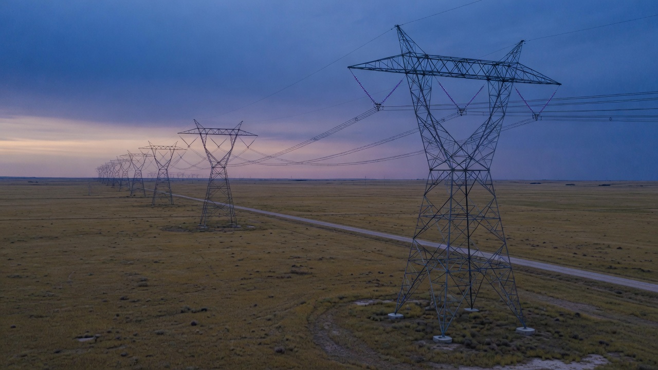
Work
Capability, shown plainly.
Selected systems and production work. The Energy Infrastructure Explorer is the current flagship — a briefing-ready map of the grid, built with open tools.
Featured
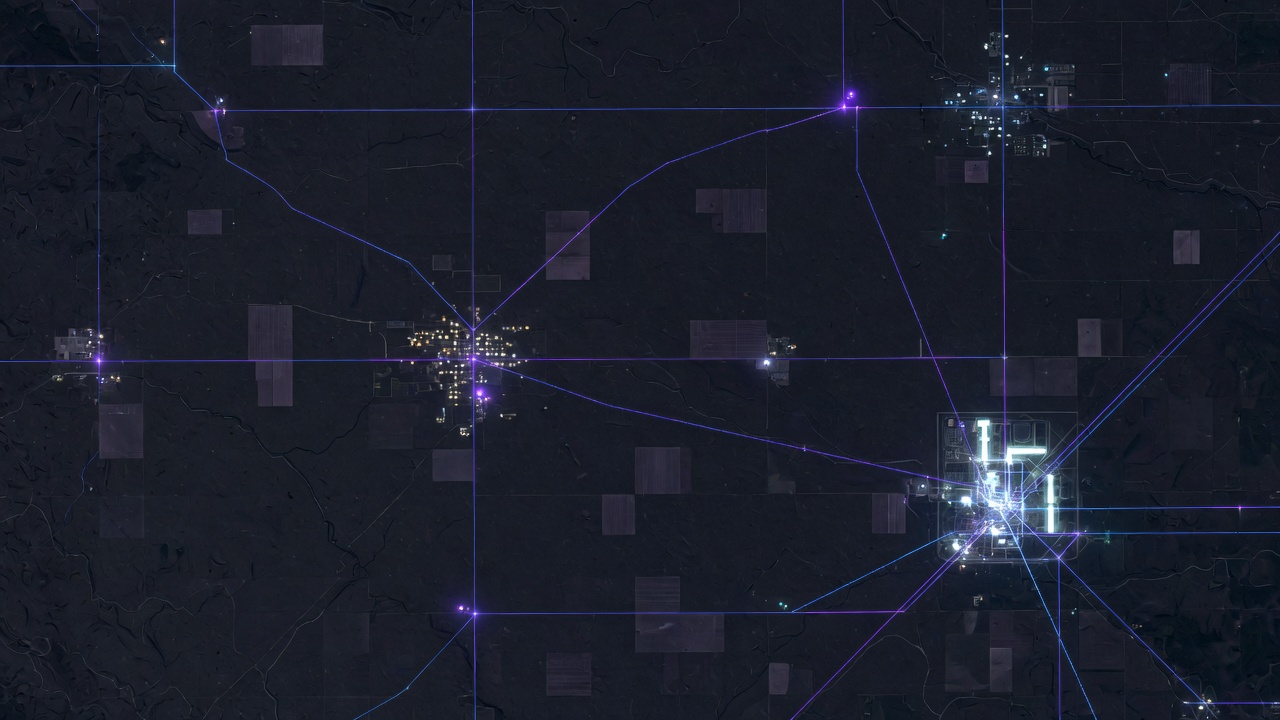
Energy Infrastructure Explorer
A self-hosted smart-grid and energy-infrastructure application. Nationwide plants, lines, substations, pipelines, territories, and scenario tools — built to brief decision-makers without a proprietary license.
Geospatial
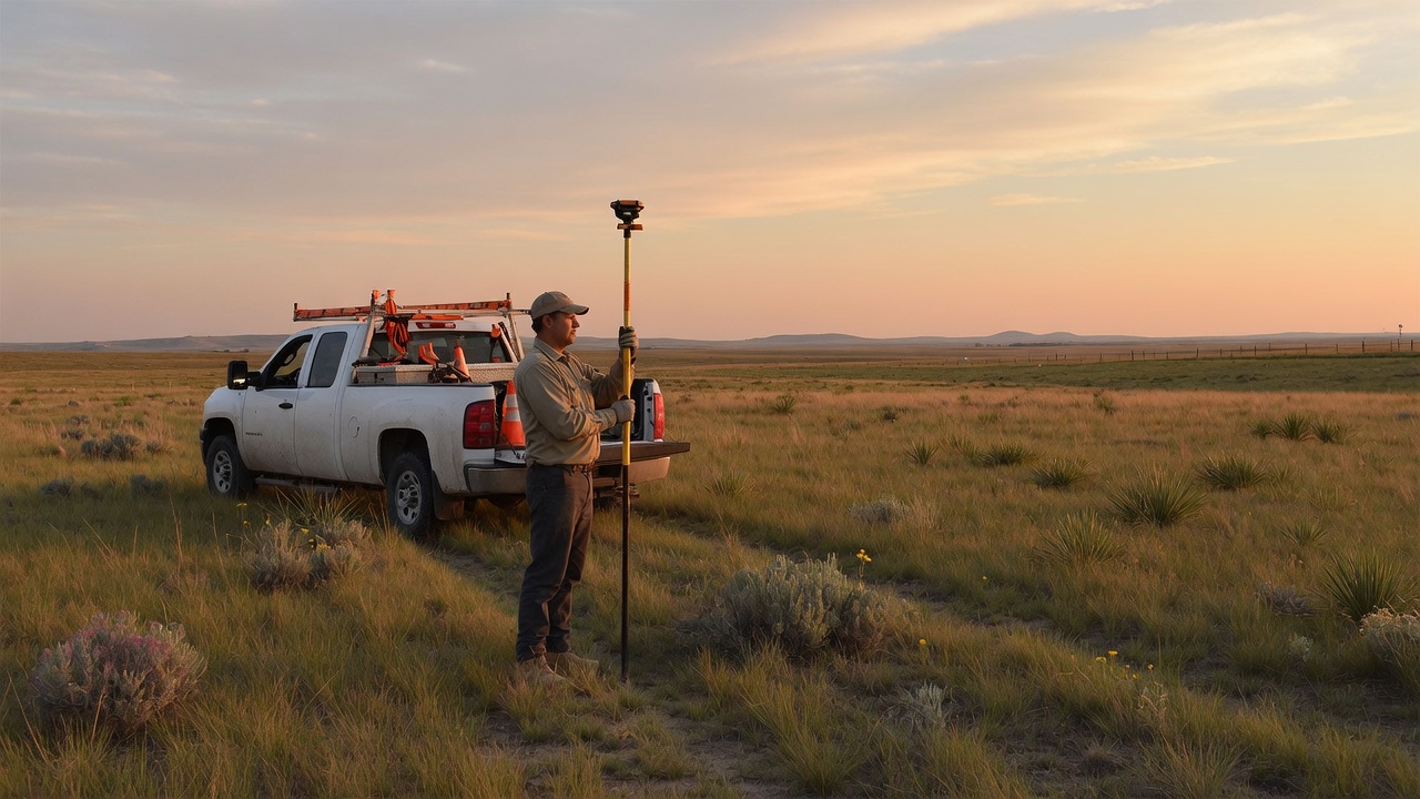
Field-to-office mapping systems
Production GIS for vegetation, land, and corridor work. The same discipline that sits under the Energy Explorer: clean data, usable maps, workflows that survive contact with the field.
Geospatial services →
Applications
Custom platforms
Purpose-built web applications when an off-the-shelf product is the wrong shape — mapping consoles, operational dashboards, and applied AI where it earns its place.
Application services →
Briefing
See the Explorer in a room.
We can walk a working session on the Energy Infrastructure Explorer — South Dakota first, then the national picture.