
01 — Services
Drone & Visual Production
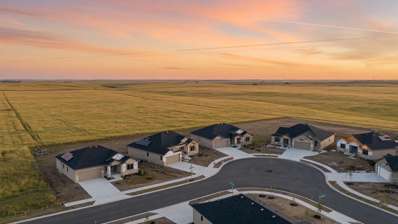
Aerial work for real estate development — marketing video, stills, and mapping packages that make a site readable from the first look.
The work
Show the land. Then the plan.
Development lives or dies on how clearly a site can be understood. We fly for that: the approach, the lots, the drainage, the neighboring ground, and the light that makes a still usable in a listing and a video usable in a room.
The same aircraft can collect mapping data when the next conversation is engineering rather than marketing. One mobilization, two products, no extra theater.
Typical packages
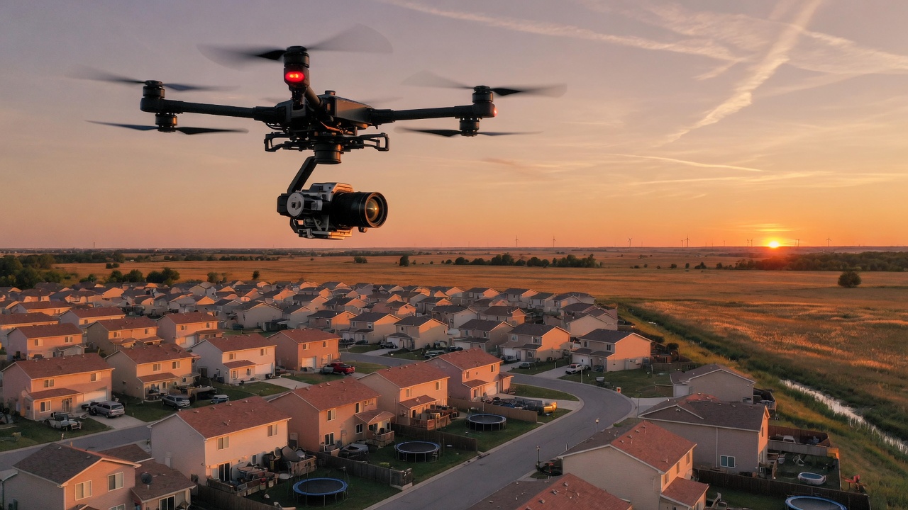
- Marketing video Short cinematic packages for listings, investor decks, and municipal presentations. Clean, paced, and shot to hold up on a large display.
- Aerial photography Still sets for web, print, and signage — site context, lot orientation, and the surrounding prairie or town.
- Development mapping Orthomosaic and elevation products when the flight should also feed planning, earthwork, or progress documentation.
- Progress and as-built Repeat flights as a site moves from dirt to streets, so the record stays current without a second vendor.
How a job runs
What the audience needs to understand, and what the camera has to prove.
Legal flight, light, and weather. We do not fly a bad window to keep a calendar.
Cinema passes, stills, and mapping frames as scoped. Efficient on the ground.
Edited video, selects, and map products delivered in formats your team can use.
Next
Have a site in mind?
Send the location, the audience, and the date you need files. We will tell you what the flight should be.