
Layer design, attribution, and map products for land, vegetation, utilities, and development work.
02 — Services
Geospatial Systems
GIS, GPS, and field-to-office workflows — maps that operations can run on, not just present.
The work
From the rover to the decision.
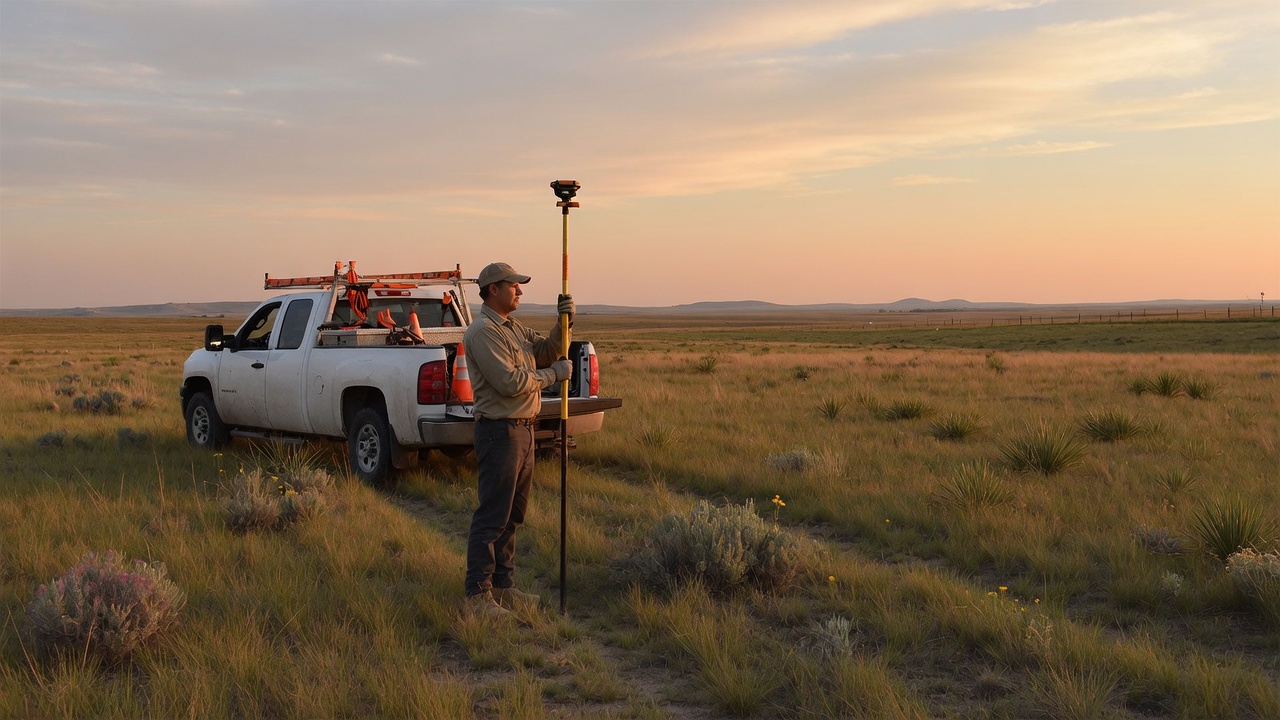
Most mapping failures happen between the field and the office. We design that interval: what gets collected, how it is attributed, and what the map has to answer when someone opens it on Monday.
The practice comes from production GIS in vegetation and land-management work, then from building custom mapping systems when desktop software was the wrong container. The Energy Infrastructure Explorer is the public example of that same discipline at state and national scale.
What we build
Rover workflows, data dictionaries, and collection methods that survive weather, crews, and turnover.
Browser-based maps and internal tools when a shapefile handoff is no longer enough.
Related capability
The same craft, larger canvas.
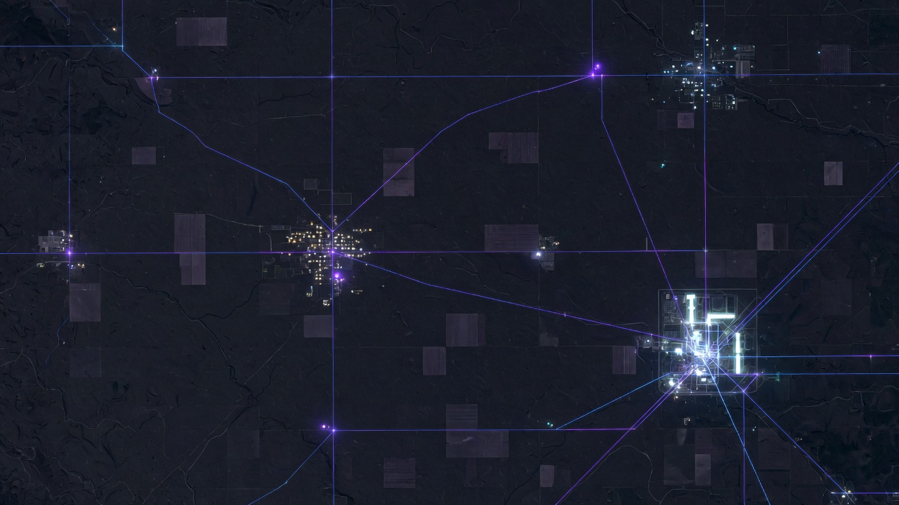
The Energy Infrastructure Explorer is a geospatial system first: nationwide layers, territory logic, filters that match how the grid is actually inspected, and a map that can be briefed without a specialist standing over it.
If the next need is South Dakota-specific data — corridors, assets, vegetation, or local planning layers — that work sits here, not in a separate vendor stack.
Next
Bring the data problem.
A messy folder of GPS files, a map that no one trusts, or a system that should exist and does not. That is enough to start.