
Services
Three practices. One standard.
Aerial production, geospatial systems, and custom applications. Training sits beside that work; it does not replace it.
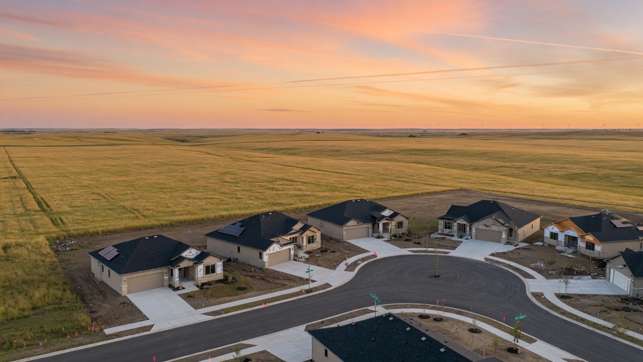
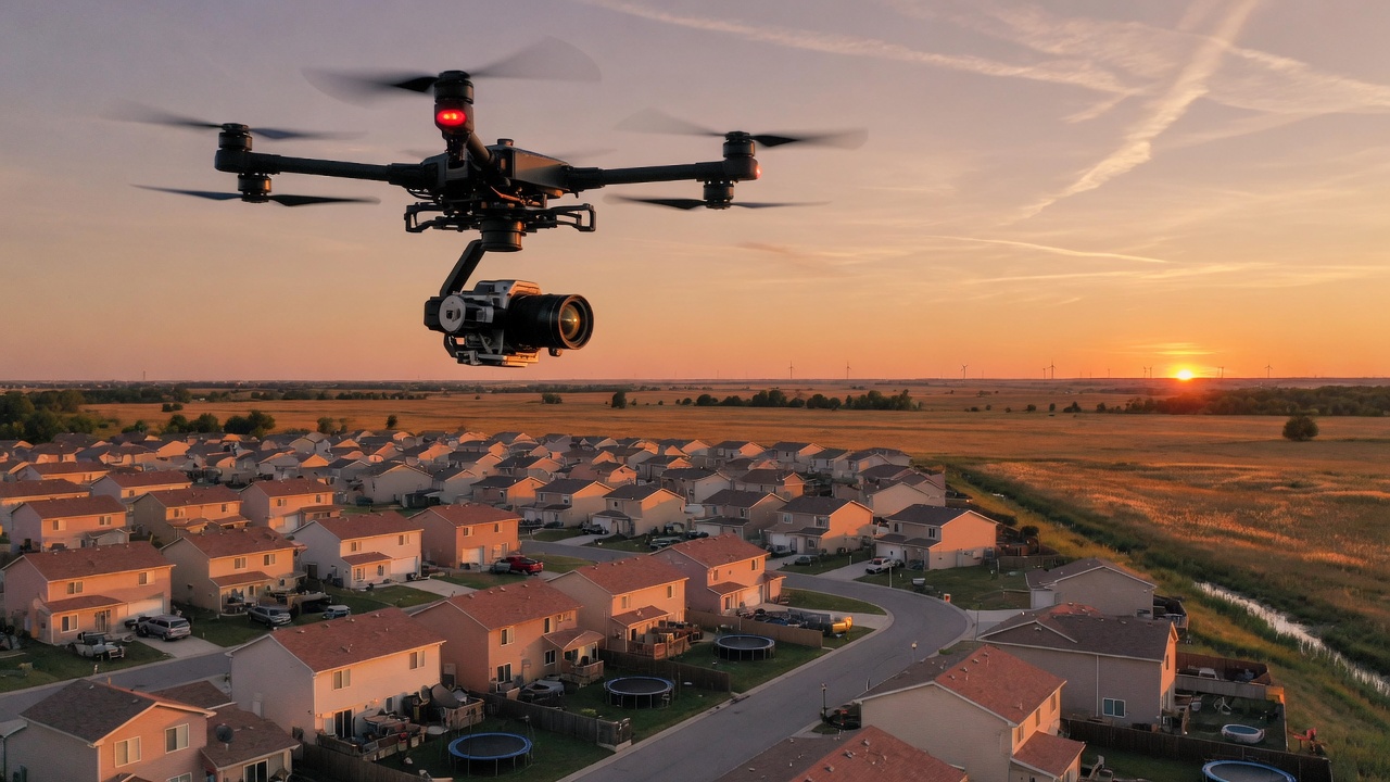
Drone & Visual Production
Marketing video, stills, and mapping packages built for real estate development.
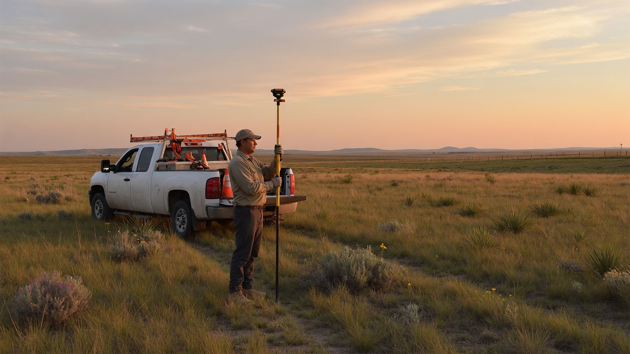
Geospatial Systems
GIS, GPS, and the field-to-office workflows that make maps operational.
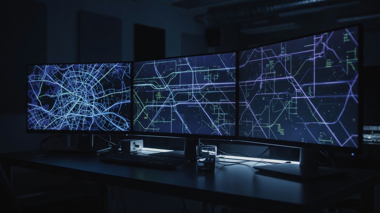
Custom AI Applications
Software built around a defined problem, including the Energy Infrastructure Explorer.
Training
Available. Separate.
When a team needs to fly, collect, or operate a system we have built, we can teach the workflow. That instruction stays attached to a deliverable. Russell Tech is a technical services company, not a school.
Grok Mastery is the standalone product if you want practice on Grok without a client project. If you need a production flight, a mapping system, or a custom application, start there.