
Production mapping leadership in vegetation and land-management work — systems that have to run, not just demonstrate.
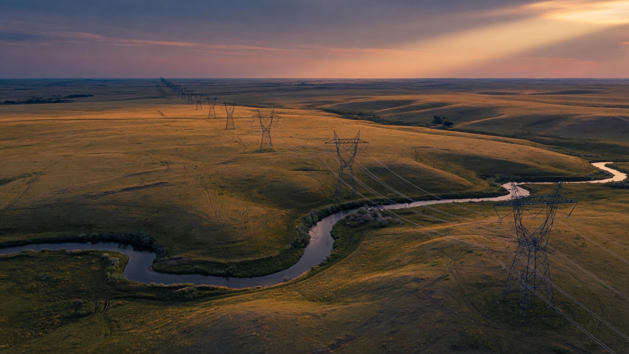
Built for the work that has to hold up.
Drone production, geospatial systems, and custom applications — delivered with operational discipline for clients who need results they can stand behind.
Scroll
What we do
Practical capability. Clear results.
Russell Tech builds the systems people actually use: aerial work that holds up in a listing, maps that operations can run on, and software designed around a defined problem — not a product catalog.
The standard is the same whether the audience is a developer, a land manager, or a briefing room. Accurate. Efficient. Ready for scrutiny.
Services
Three ways we work.
01
Drone & Visual Production
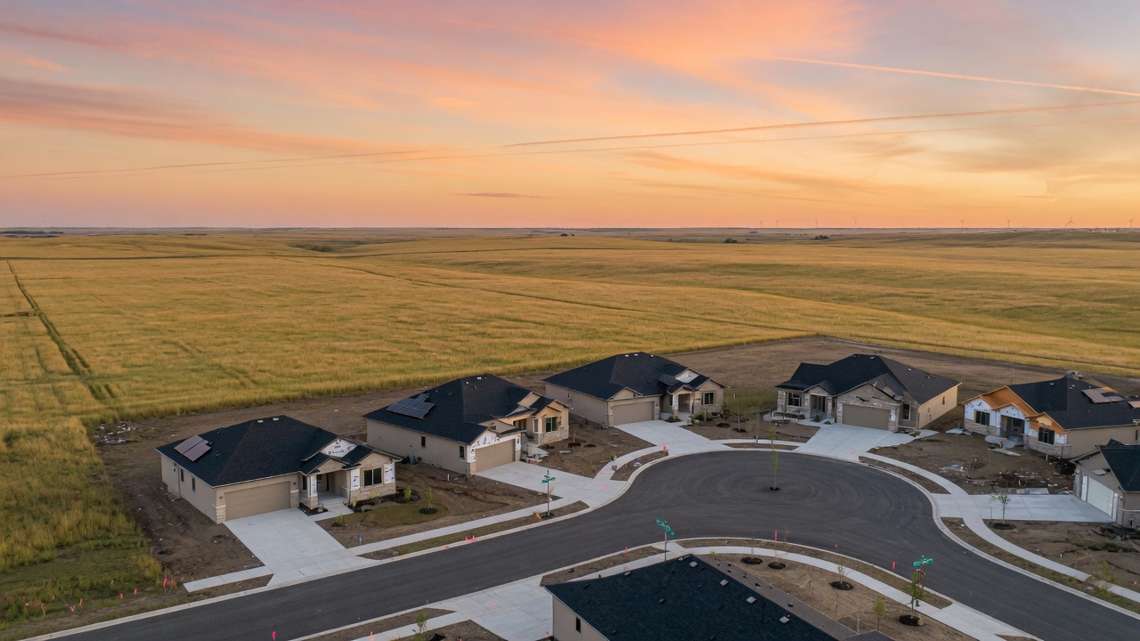
Marketing video, aerial photography, and mapping packages for real estate development.
Learn more →
02
Geospatial Systems
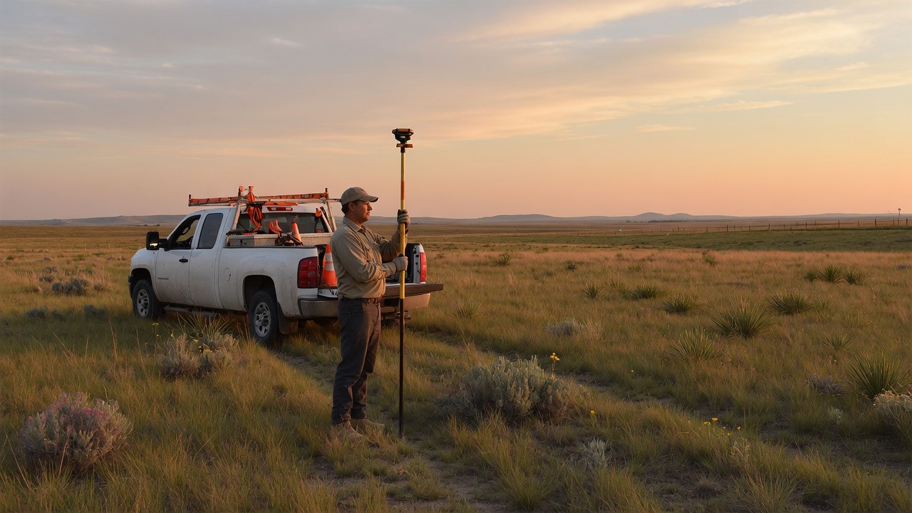
GIS, GPS, field-to-office workflows, and custom mapping systems built for production use.
Learn more →
03
Custom AI Applications
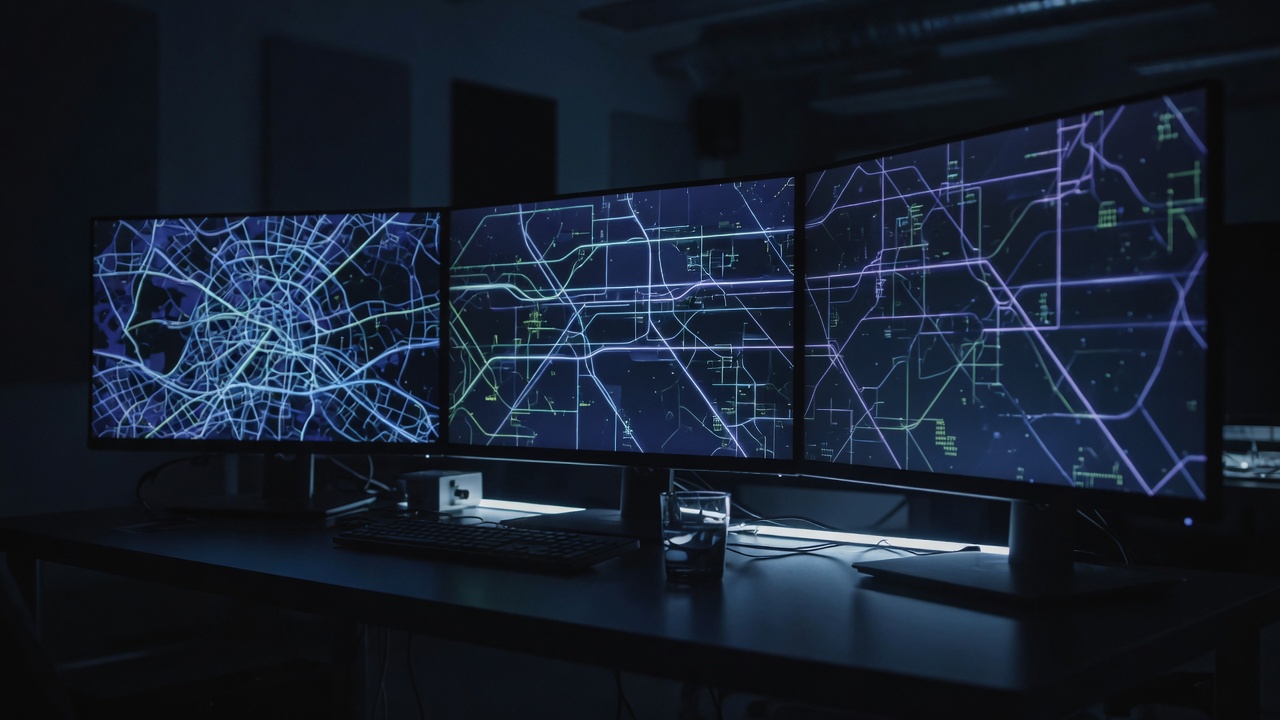
Practical tools and platforms — built to solve a real problem and remain yours to operate.
Learn more →

Now live
Grok Mastery
Practice on grok.com, the phone app, and Grok Build. Five pathways for people who will use it on a job — not a tour. The three practices above remain the firm. This is a separate product.
Featured work
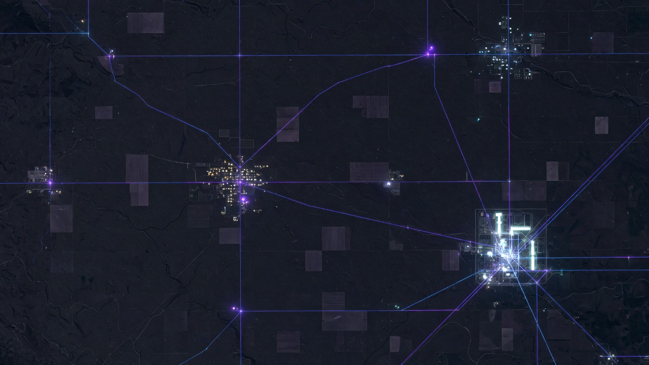
Energy Infrastructure Explorer
A self-hosted smart-grid and energy-infrastructure map built with open-source tools. Nationwide generation, transmission, substations, pipelines, and service territories — with weather, threat, and power-flow scenario tools.
- Power plants
- 17,495
- Transmission lines
- 172,320
- Substations
- 88,948
Credibility
Earned in the field.
GPS, drone, and GIS pipelines designed so data collected on the ground becomes something an office can act on.
Hands-on technical training delivered across South Dakota programs in drone, GIS, and geospatial technologies.
Start a conversation
Ready when you are.
A listing package, a mapping system, or a briefing on the Energy Explorer. Tell us what you need and we will take the next step. If you want the training desk instead of a project, open Grok Mastery.